MAGIC stands for Multi-Agency Geographic Information for the Countryside. This website provides authoritative geographic information about the natural environment from across government. The information covers rural, urban, coastal and marine environments across Great Britain. We currently present over 400 datasets in our interactive map, which can be explored using various mapping tools. Natural England manages this service under direction set out by a Steering Group of MAGIC partnership organisations.
MAGIC has been updated to a new version. The previous version of MAGIC has now been fully decommissioned.
We have received an incredible amount of feedback from our users regarding the Site Buffer tool. We’ve now changed the functionality of this tool to include a textbox so a specific number can be entered, and the total buffer distance has also been increased from what it once was. A variety of other minor bugs have also been fixed. Thanks for all of your feedback, it’s helping us improve our service.
Defra welcomes your feedback, please provide your inputs via this survey link. More on Data updates can be found here.
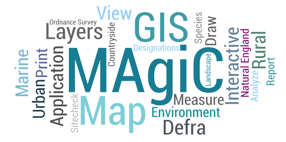
MAGIC was launched in 2002. Information covers rural, urban, coastal and marine environments across Great Britain. Presented in an interactive map which can be explored using various mapping tools.
More than 300 data layers are available on MAGIC. The MAGIC partnership organisations are Natural England, Defra, Environment Agency, Historic England, Forestry Commission and Marine Management Organisation.
MAGIC is a very popular website with 2,500 daily user sessions and 9 million maps generated each month across 8 themes, three different basemaps and three overview maps.